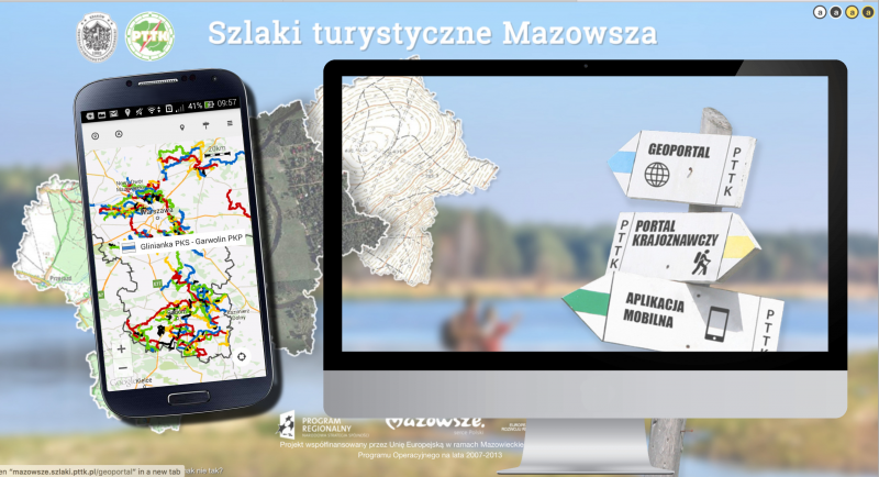
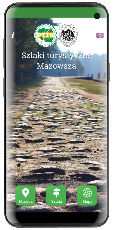
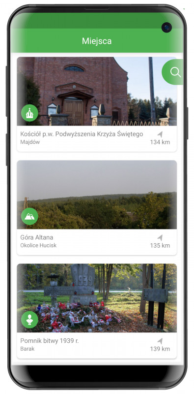
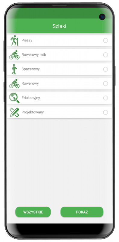
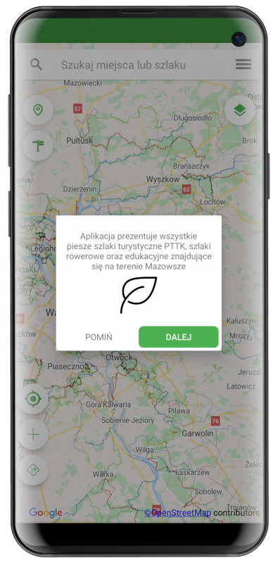
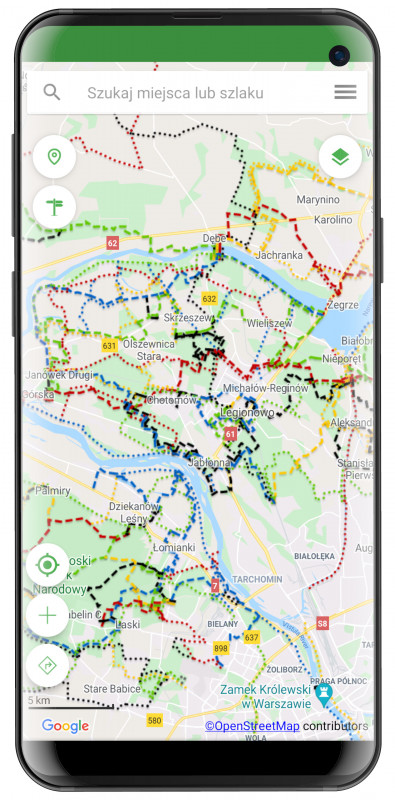
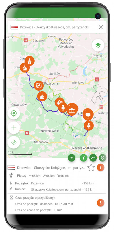
Mobile application Szlaki Mazowsza presents all marked tourist trails you can find in the Mazowsze region, together with their nearby Points of Interest. This practical, up-to-date tool, with it’s friendly interface will help you to navigate on tourist trails enjoying the best nature and cultural
parts of Mazowsze.
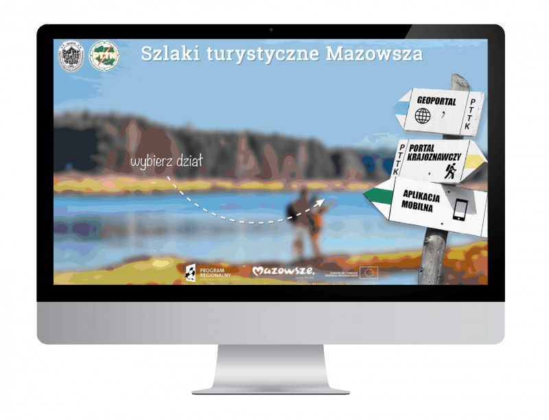
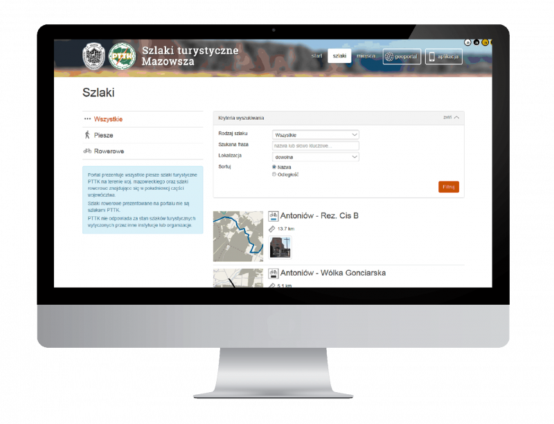
The same network of trails and POIs data is also available on the map and website at http://mazowsze.szlaki.pttk.pl/en. You can easily plan your trip there, transfer it to the mobile application and use for navigation.
Application main features:
- your present location, shown on choice of map layers
- trail route calculation and navigation,
- offline download of trails, height and map data
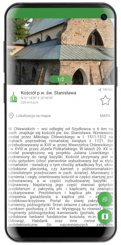
- full information on all trails and POIs,
- readings of distance to any POI, trail or selected point on the map
and it’s altitude above sea level,
- recording of the trip track,
- sharing of position, recorded trip and favourite trail or POI,
- weather forecast,
- navigating by the route created on desktop computer,