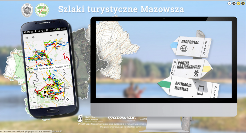
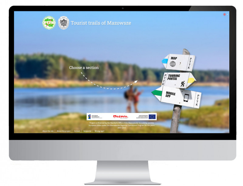
The application presents PTTK hiking, bicycle, and educational routes in the Mazowieckie Voivodeship, as well as information on hundreds of sights and places near the routes. It is a practical, easy-to-use tool for tourists, allowing them to navigate the tourist routes of Mazowsze. The application uses the same database about sights and routes that are presented on the map and the sightseeing website at: http://mazowsze.szlaki.pttk.pl.
The key features of the application:
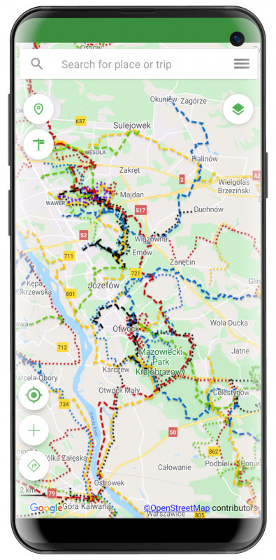
- mapping and navigating the routes,
- offline download of maps, trails, and elevation data,
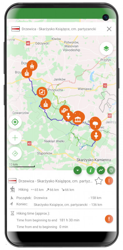
- information about a trail or sights,
- reading the distance to any place and its altitude,
- recording of user’s route,
- the weather forecast for any place,
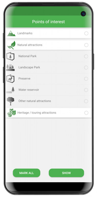
- checking places of interest on the map,
- navigate a route created on the user’s desktop computer,
- saving and sharing favourite places and routes.
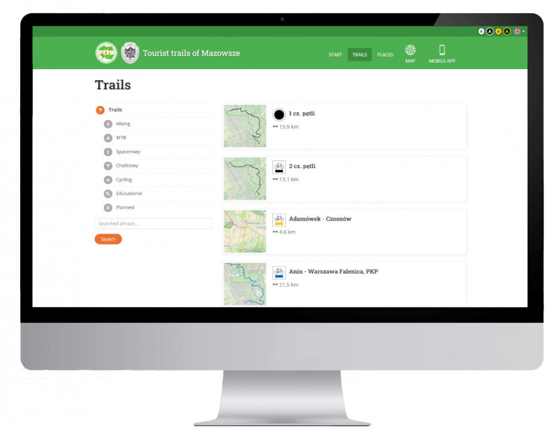
Each hiking route featured in the application is linked to nearby sightseeing and natural places (landscape parks, reserves, water reservoirs, etc.) and other sights interesting for tourists. Additionally, a lot of information can be found about the villages and cities through which the routes run. On the route, the user will find, for example, information about such towns as Pułtusk or Grodzisk Mazowiecki, or the village of Adamów or Czersk. Moreover, the places of interest include the Okólny Ług Nature Reserve, the Centrum Rzeźby Polskiej (Centre of Polish Sculpture) in Orońsko, and many parks and palaces. The user can also see the elevation profile, the colour of the signposting in the field, as well as view data on the length of the trail and the distance of other trails or sights from the current location.