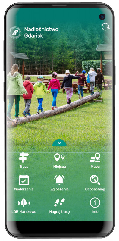
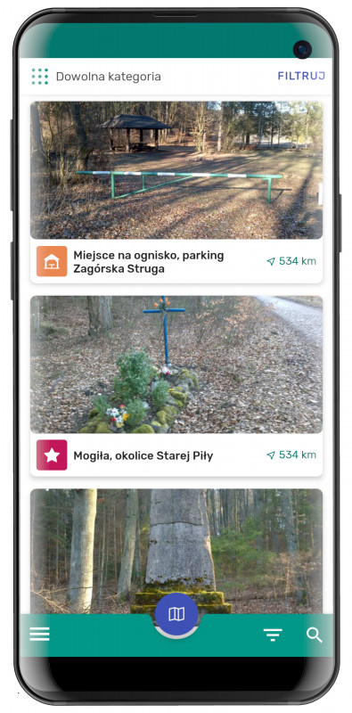
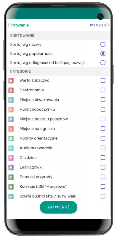
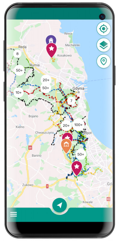
The ‘Nadleśnictwo Gdańsk’ mobile application presents natural advantages of the Tri-City area, attractions of the region, and tourist infrastructure. In order to make finding unique places easier, they have been divided into categories, which include: monuments, natural monuments, forester's lodges, resting and camping points, or gastronomic facilities. The individual points contain GPS coordinates, and some are accompanied by an audio guide.
Additionally, the application includes suggestions of cycling, hiking, Nordic walking, and horse-riding routes. On the map, a full database of locations and routes can be viewed. From the map, one can also go to the details of a selected object. Thanks to the navigation function, the mobile guide allows the user to plan a route between any two points while offline. OpenStreetMap background maps are available offline in two versions: basic and Hike&Bike, which also includes forests and field paths.
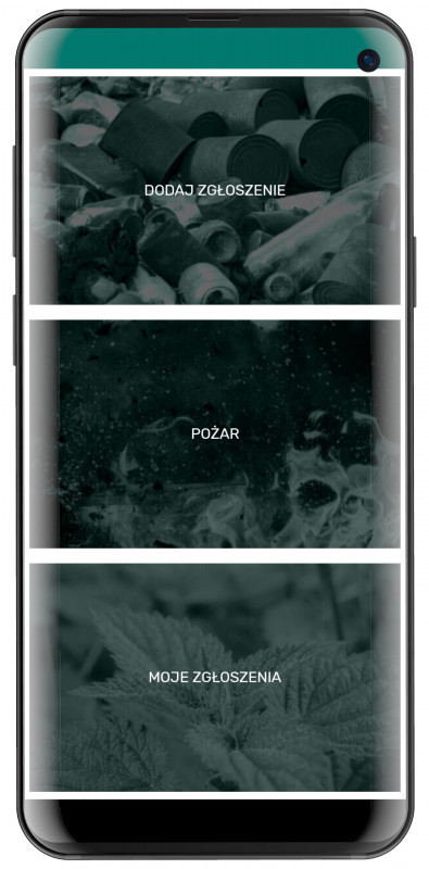
The mobile guide also functions as a communicator between tourists and the Forest Inspectorate – the user, for example, can report an illegal landfill and be informed about the events in the area. Additionally, the user can record their route and send it to the application.